Project Overview
Project Overview
MMA Offshore was contracted by the Australian Government, Department of Defence to undertake the Mavis Reef (East), Bonaparte Archipelago Hydrographic Survey. The objective of the Survey was to update Australian Hydrographic Office Charts AUS730, AUS732, AUS320 and AUS323 through the provision of safety of navigation hydrographic surveys.
The Mavis Reef is located approximately 175 nautical miles north-northeast of Broome, Western Australia. The survey area incorporated 273 square nautical miles (approximate dimensions 12 x 23 nautical miles) extending south and east of Mavis Reef in the Bonaparte Archipelago. In total, the survey included 7,170 nautical line miles of multibeam bathymetry data acquired over a period of 83 days.
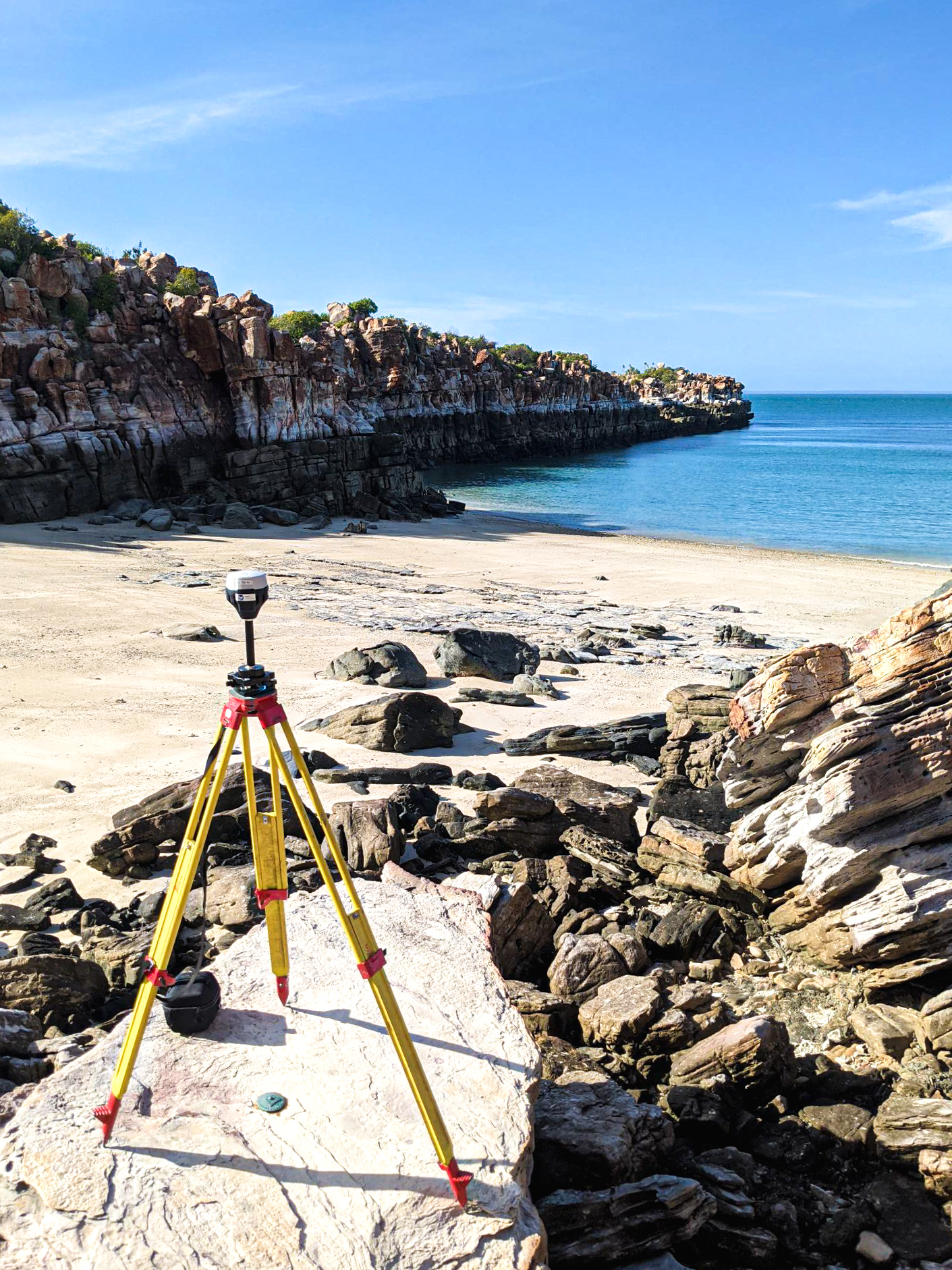
Tidal infrastructure was installed to support the hydrographic survey and used to establish a sounding datum within the Mavis Reef Survey area. The tide gauge installations at Mavis Reef South West, Fox Shoal East, Hull Bank West, Denman Shoal and Rosella Shoal North were connected to benchmarks at Adele Island, Degerando Island and King Island through Post Processed Kinematic (PPK) reduction of GNSS raw data observables using precise ephemeris within the NovAtel Waypoint GrafNav GNSS Post-Processing Software.
MMA Offshore consulted the Dambimangari Aboriginal Corporation (Traditional Owners), Australian Marine Parks and the DBCA Parks and Wildlife Services in Broome to access the survey area and obtain the required permits. Two Traditional Owners joined the survey team during geodetic activities on Adele Island, Degerando Island and King Island. One Traditional Owner was also present on the vessel during offshore hydrographic survey activities.
The final dataset was delivered to the Australian Hydrographic Office in GIS format using the International Oil Gas Producers (IOGP) Seabed Survey Data Model (SSDM) Version 2 GIS template.