Project Overview
MMA Offshore was contracted by the Australian Government, Department of Defence to undertake the Cape Barren to Babel Island Hydrographic Survey. The objective of the Survey was to facilitate the safe navigation of domestic commercial, military and recreational vessels in the region and to identify navigational hazards. The bathymetry data delivered to the client will be used to update Australian Hydrographic Office (AHO) Charts AUS 179, AUS 487, AUS 798, AUS 800 and (ENC) AU440148, AU441148.
The Cape Barren to Babel Island survey area is located off the east coast of Flinders Island, approximately 40 nautical miles north-east of the Tasmanian mainland. The survey area encompasses 620 square nautical miles (approximately 50 km x 50 km).
The offshore campaign spanned almost four months from January 21st 2022 to 6th May 2022.
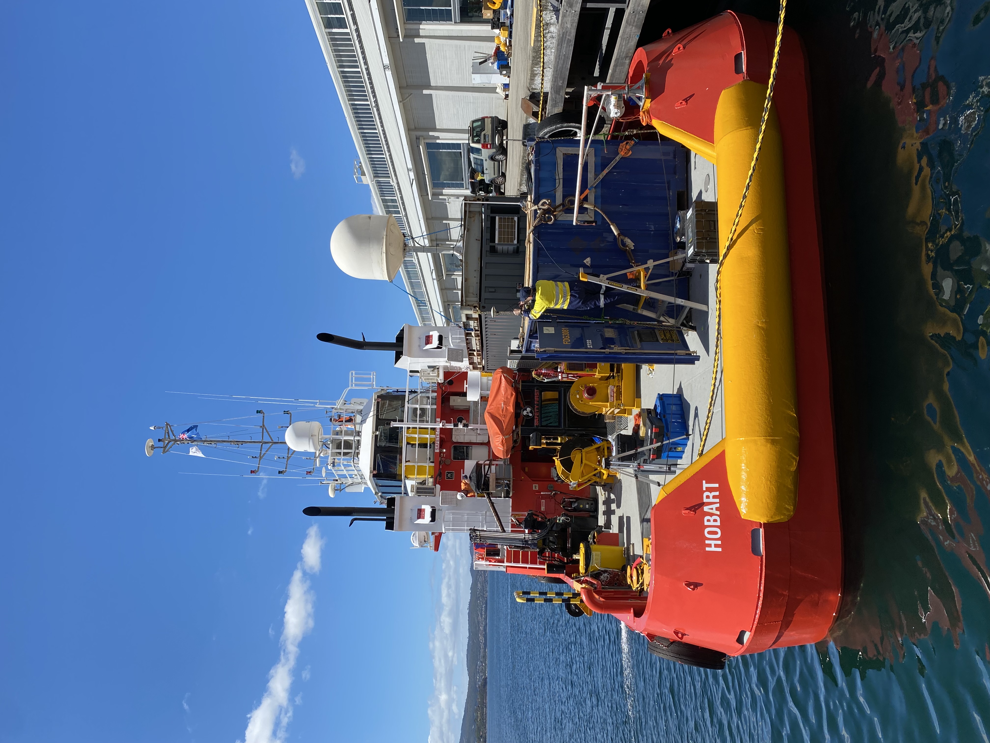
MMA chartered four third-party local Tasmanian vessels to complete the work scope (Ocean Dynasty, Pacific Crest, Del Richey II, and No Limitation). The vessels were mobilised in the local ports of Hobart and Devonport. The offshore execution phase involved 147 combined vessel days, with all work being completed safely and without incident or injury to personnel (147 Perfect Days). In addition to bathymetric sounding, completed activities also included four air-diving scopes, deployment and recovery of 11 subsea moorings and several infield vessel-to-vessel personnel transfers. The vessels successfully operated in sea states up to 3m.
MMA utilised cutting edge Kongsberg multibeam sonars to define and map the seafloor in water depths ranging from 10m to 550m. Combined, the vessels acquired high-quality IHO Order 1A Multibeam bathymetry over a distance of more than 8,000 nautical miles (15,000km, equivalent to mapping a distance between Perth and Los Angeles) and mapped the seabed over an area of 2,100km2 (equivalent to mapping the City of Hobart 27 times over).
The project also utilised 26 individual MMA Surveyors, Data Processors and Survey Engineers for the offshore execution phase alone.
MMA deployed 14 bottom mounted tide gauges across the site for the four-month project duration. The tide gauges were referenced to onshore survey benchmarks installed at Cape Barren and Babel Island through the use of Post Processed Kinematic (PPK) reduction of GNSS data.
Through early engagement and effective stakeholder management, MMA successfully sought permission from the team at the Tasmanian Aboriginal Centre in order to access and perform works at the culturally significant site of Babel Island.